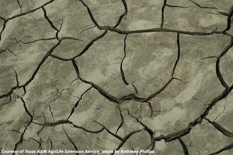
Above-average temperatures and dry conditions across Texas could be a sign of things to come this summer, according to State Climatologist Dr. John Nielsen-Gammon.
He’s concerned arid conditions could be prevalent through the summer following the warmest winter on record and a relatively dry spring with above-average temperatures.
Nielsen-Gammon said March temperatures averaged 6 degrees higher than normal. Cool spells in the first half of May have reduced average temperatures for the spring months, but the season was still 2-3 degrees warmer than usual.
Recent weather patterns around most of the state have also delivered very little moisture, Nielsen-Gammon said. The combination of dry, windy conditions and warmer temperatures could be the precursor to a long, hot summer.
“If dry conditions continue and soil moisture isn’t replenished, we could get into drought relatively quickly,” Nielsen-Gammon told AgriLife Today.
Nielsen-Gammon said summertime forecasts are difficult to predict as the jet stream moves further north. But dry springs typically lead to above-average summer temperatures. Water temperatures in the Gulf of Mexico are also above normal, which could contribute to summertime warmth and humidity.
East Texas received reasonably wet weather this spring, but much of Central and West Texas are drying out rapidly.
“There is rain in the statewide forecast, but not enough to bring things up to normal,” he said.
Nielsen-Gammon noted good precipitation could be in store for the Panhandle and North Texas over the next two weeks. But time will tell whether those rain events materialize.
The long-term forecast calls for El Niño conditions to arrive this winter, which could bring wetter-than-normal patterns, but it would be too late for dryland farmers, Nielsen-Gammon said.
The lack of spring and summer rains and higher temperatures could also mean surface water, including ponds, would dry out faster.
“So far it’s been a dry May,” he said. “That could be a bit of a problem going into the summer months.”

