
El Niño is expected to soon transition to La Niña, it’s opposite atmospheric and oceanic pattern, according to meteorologists.
The active spring weather pattern with rain, hail, high winds and tornadoes was typical of El Niño, but that is expected to begin shifting this month with La Niña in play by late summer or early fall.
“The official forecast from the National Weather Service is fully expecting La Niña to develop by July to September 2024,” said Brad Rippey, analyst and drought monitor author for the U.S. Department of Agriculture. “When we categorize El Niño or La Niña, we break it into three-month packets, and so when I say July to September, it just means you average those three months. It’s likely that we’ll see La Niña by that time.”
El Niño is a warming trend of waters in the equatorial Pacific Ocean that often brings increased rain changes, cloudier days and cooler temperatures. The El Niño pattern that the southern U.S. experienced this year has been in play since last fall.
La Niña typically brings a warmer, drier weather pattern to the southern U.S.
For the U.S., the transition usually means a more active tropical storm and hurricane season, which is also predicted for this year.
The National Oceanic and Atmospheric Administration (NOAA) said this year has an 85% chance of having an unusually high number of tropical storms and hurricanes.
“It looks like this season is going to be an active one,” Tom Bradshaw, National Weather Service meteorologist, told the Texas Farm Bureau Radio Network. “There are a couple reasons for that. One is the very, very warm sea surface temperatures out there in the Atlantic Basin, in the Gulf of Mexico, and also, some larger scale wind patterns, which seem to be conducive to tropical development.”
NOAA is forecasting 17 to 25 named storms with winds of 39 miles per hour (mph) or higher.
Of those, NOAA predicts eight to 13 could become hurricanes with winds of 74 mph or higher, including four to seven major hurricanes of at least Category 3 status with damaging winds of 111 mph or stronger.
In an average year in the Atlantic region, 14 named storms, seven hurricanes and three major hurricanes are recorded.
Other La Niña associated weather traits should become more evident in late fall, meteorologists said.
A drier and warmer winter in the southern U.S. and a colder winter in parts of the northern U.S. is expected. La Niña typically reaches its peak in the winter. That’s when it will likely have the strongest impact on weather patterns.
Between now and when La Niña officially takes over, the U.S. experiences a situation described as “ENSO neutral,” meaning neither El Niño nor La Niña is in place.
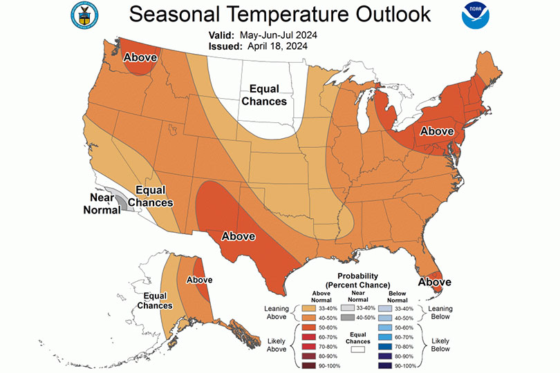
Regardless of the weather pattern, national weather forecasters are expecting an abnormally hot summer for Texas and nearly all parts of the U.S.
La Nina is going to have to work pretty dang hard to make it drier in my part of south Texas!!