By Shala Watson
Multimedia Writer
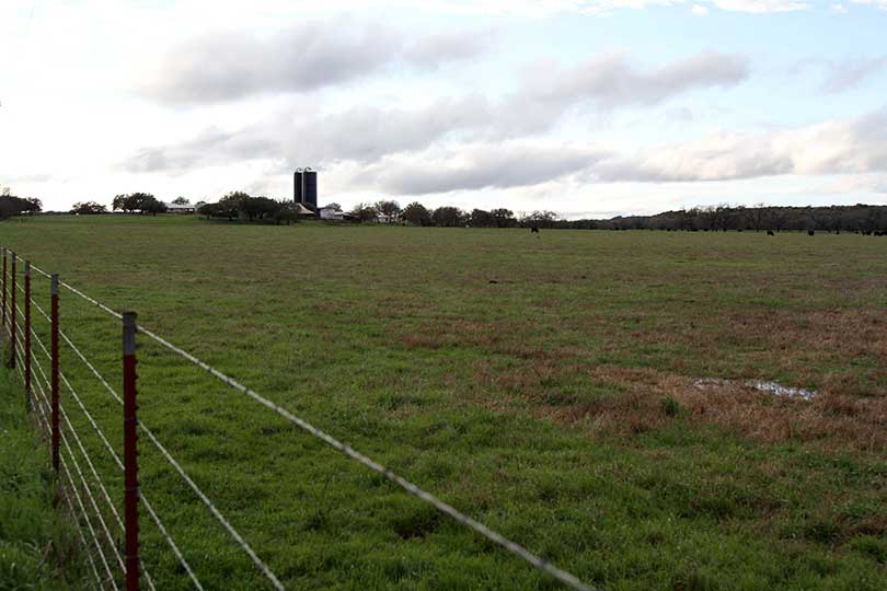
Pastures across Texas are greening up. The days are getting longer. Farmers are busy planting, and fruit trees are blooming. For much of Texas, spring has arrived.
Preliminary numbers indicate this February was the warmest on record and the fifth consecutive month with temperatures in the Lone Star State averaging several degrees above normal, according to Texas State Climatologist Dr. John Nielsen-Gammon.
“This winter as a whole is essentially tied with the previous warmest winter on record, which was back in 1907,” Nielsen-Gammon said.
He noted the weak La Niña weather pattern that just ended may have played a minor role in the above normal temperatures in the South. But long-term warming trends have also driven temperatures up.
“Temperatures were way warmer than anybody was expecting, and they were at the high end of what computer forecasting models could simulate given the ocean temperatures that were out there,” Nielsen-Gammon said.
While the break from the cold and freezing temperatures is refreshing, many farmers and ranchers are concerned the early growth will leave crops vulnerable to potential late spring freeze events.
Unusually warm soil temperatures, however, could provide protection against a late freeze, according to Nielsen-Gammon. But he doesn’t rule out the possibility a strong cold front could still do a lot of damage.
“There doesn’t seem to be anything on the immediate horizon, but the last freeze date is still a ways into the future for most of Texas,” Nielsen-Gammon said.
Farmers in East Texas are hoping to get enough cold weather for fruit crops as chill hours were low this year.
As temperatures rise, the possibility for soil moisture to be depleted more rapidly increases.
“We need to have continued timely rains to avoid rapid development of short-term drought,” Nielsen-Gammon said.
The long range forecasts aren’t especially wet or dry, he noted. But chances for rain look better in East Texas, which could bring much needed relief to farmers and ranchers facing drought conditions in that region.
Late last month, the U.S. Department of Agriculture (USDA) designated 14 Texas counties as primary natural disaster areas due to the drought. They include: Bowie, Camp, Cass, Delta, Fannin, Harrison, Hopkins, Hunt, Lamar, Marion, Morris, Red River, Titus and Upshur.
Conditions in Northeast Texas have fluctuated for several months, and the warm weather has made things dry out faster.
“They’ll go through dry spells. Then there will be one or two storms that come through and improve conditions, and then things have dried out again,” Nielsen-Gammon said.
Extended periods of wet weather in other areas of Texas have kept the state relatively drought free. But there are regions along the southern half of the Gulf Coast, along the Mexico border and in north Central Texas that are drier.
“North Central Texas has been fairly dry recently, so they need some rain fairly soon to prevent drought from developing,” Nielsen-Gammon said.
Looking ahead through the remainder of the year, the U.S. Climate Prediction Center (CPC) forecast models indicate the probability for El Niño between August and October stands at 51 percent. But some models show El Niño may arrive as early as July this year, which could bring more moisture to the state.
El Niño usually comes around every two to seven years and last occurred in 2015-2016.
“If El Niño does return, it would favor wetter conditions in Texas, especially southern Texas beginning late in the fall,” Nielsen-Gammon said.
The warmer temperatures also bring the concern for wildfire to the forefront.
“We’ve had two fairly wet years so there’s a lot of fuel available and warm temperatures allow it to dry out faster,” Nielsen-Gammon said. “We’re going to have to stay alert when the weather conditions are favorable for fire because we certainly have an enhanced potential for wildfire this year.”

