
The drought is not expected to let up in the month of August.
High temperatures and drought conditions are forecast to continue across most of the state this month, according to the National Weather Service.
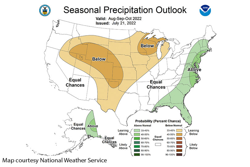
“We’ve been enduring day after day of temperatures in excess of 100 degrees across much of Texas,” said Tom Bradshaw, National Weather Service meteorologist-in-charge. “Unfortunately, rainfall has not kept pace at all. We’re in a drought that is really, really strengthening its grip across the Lone Star State. We are several inches below normal in terms of the amount of rainfall that fell across Texas during the month of July. August does not look any better.”
August is normally a dry month, and Bradshaw expects above-normal temperatures and below-normal rainfall to continue throughout the state.
“August is normally a very dry month,” Bradshaw said. “So, we are seeing specific issues on the Drought Monitor side and that probably is going to just get exacerbated as we go forward into the month of August.”
For the last few years, the La Niña pattern has been prevalent. The La Niña climate pattern influences hurricane season, tornado activity and increases the chance of drought in some regions.
“We’ve been dealing with this La Niña pattern for at least a couple of years. Long term models are suggesting that this pattern is actually going to persist through at least the end of the year and the wintertime,” he said. “With the La Niña pattern, we have waters that are cooler than normal across the equatorial Pacific. And what that means for the state of Texas, because of the situation at the surface, the Pacific tends to generate upper-level patterns of high pressure across the southern United States. Storm systems tend to shy away from the southern U.S. They tend to shy away from the state of Texas during La Niña periods.”
This pattern is expected to continue through the next several months across the southern United States.