
By Justin Walker
Communications Specialist
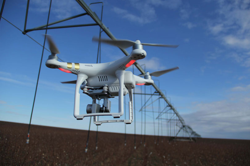
Advancements in drone technology are expanding the productivity on America’s farms and ranches.
Thanks to new software, farmers and ranchers have access to live aerial views of their farmland and pastures. The live maps were produced by DroneDeploy, a San Francisco-based drone data software company.
“DroneDeploy makes drones useful to the agricultural community, and it makes it useful enabling people to create maps of their farms and understand what is going on across the whole field in one easy picture,” Mike Winn, CEO and founder of DroneDeploy, said.
DroneDeploy recognized that the process for developing maps was not helpful for most farmers and ranchers, because it required several hours of uploading data and processing images to create the final product.
“We launched Live Maps, and it solved that problem,” Winn said.
Live Maps allows farmers and ranchers to create a map of their land in real time, without the need to connect to Internet or upload hours of data.
“There’s no waiting,” Winn said. “You can use that data and immediately see what’s going on in your field.”
The new technology has not only helped farmers and ranchers respond quickly when the need arises, it has also assisted with several challenges the agricultural community faced when using drone data.
“One of the big issues has been a problem with live access,” Winn said. “We have a lot of agricultural customers who live in areas without good service. Uploading a gigabyte of photos to get an analysis from a drone could take a long time.”
While expanding broadband access to rural areas is an initiative by the Trump administration, Winn said the new software developments have helped with connectivity issues.
“Live Maps is a solution to that problem,” Winn said. “Now you don’t have to use the internet. You can be in an entirely offline environment.”
Winn also noted another update in drone technology that would increase productivity on the farm—autonomous flying.
“We know, in the agricultural community, that the times when getting a birds-eye view of your field is most useful is often the times when you are busiest,” Winn said. “You don’t want to be sitting at your truck flying a drone. You want to be getting work done.”
Having drones fly autonomously will help farmers and ranchers do just that.
“You go out into the field, you put your drone down, press a button on your phone and the drone will autonomously take off and fly over an area in perfectly straight lines and capture the data you need,” Winn said.
Winn believes the advancement in drone data software has helped farmers and ranchers, but the introduction of drone technology to the farm has been undeniably beneficial.
He first noticed the market for drones in agriculture not long after the launch of DroneDeploy.
“We founded our company in 2013. It was around 2014 that the ag community started to reach out to us,” Winn said. “It was really around 2016 that the market started to explode. Technology became really accessible and drones became rather inexpensive. Software became inexpensive and easy to use.”
Pricing plans are available online. The Explorer plan is free, but comes with limitations. Other plans provide higher resolution photos and assistance from the support team.
For more information about DroneDeploy, visit www.dronedeploy.com.