
By Jennifer Dorsett
Field Editor
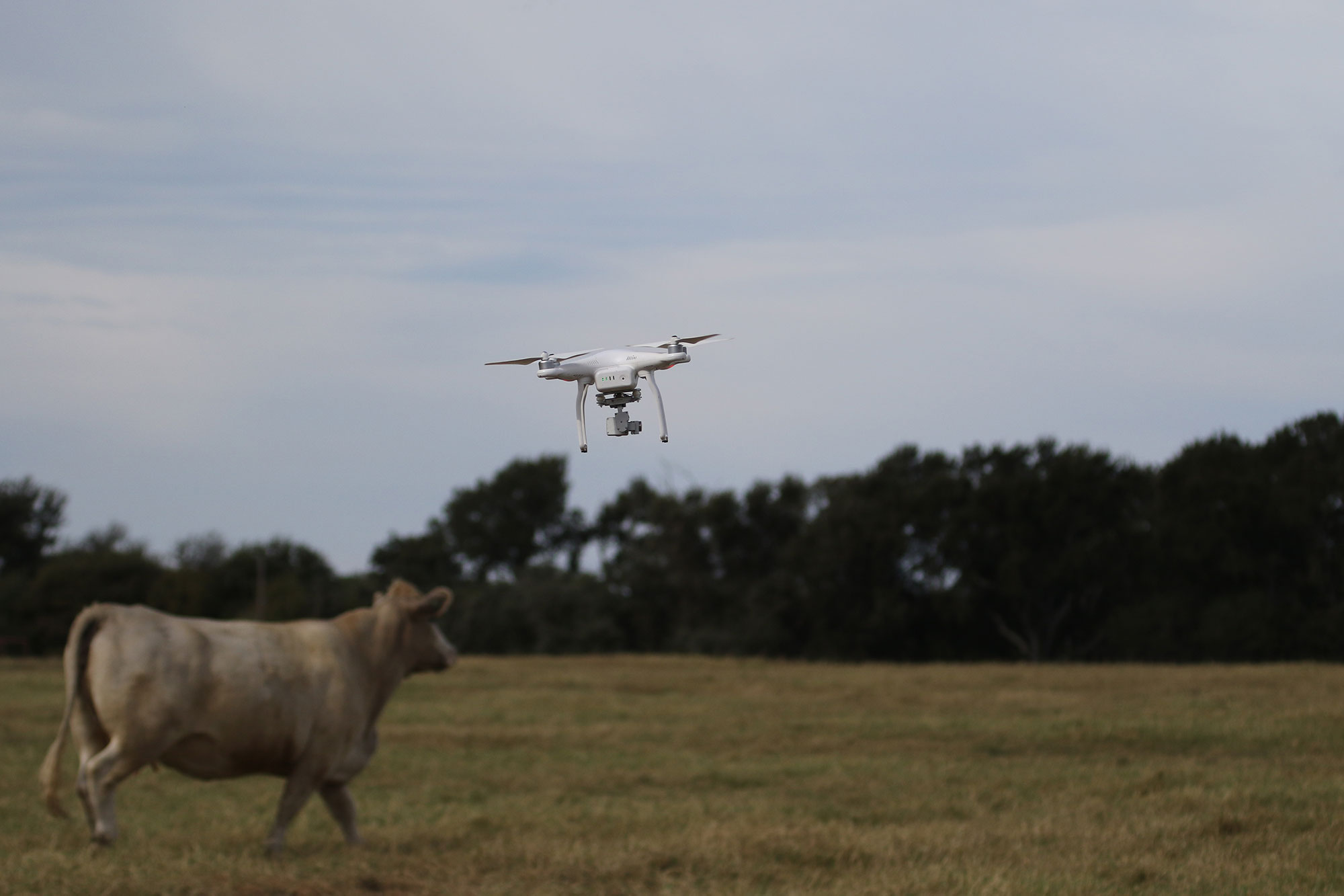
Drones have many applications in agriculture, including helping ranchers locate lost livestock, according to Texas A&M AgriLife Extension Service Range Specialist Megan Clayton, PhD.
Specialized radio frequency identification (RFID) tags and thermal imaging are just some of the technologies available now or in the near future that may assist ranchers in everyday operations.
“If that cow has an RFID tag or a reader with this radio-frequency ID microchip, [an enabled drone] can find it. And a lot of these—although they’re not readily on the market right now—boast they have receivers that can find cattle up to a couple of miles,” Clayton, whose work focuses on range management and unmanned aerial vehicle research, said. “So, you can imagine that if we were able to mount this receiver onto a drone, it could definitely fly around the area and get close enough to pick up some of these livestock.”
Currently, many RFID tags on the market require the scanner to be within a few feet for an accurate reading, but as technology improves, the range also is expected to improve, Clayton said.
Thermal imaging, which many row crop farmers currently use in drones to spot problem areas in fields, also can work when looking for lost or stray livestock.
“What we’ve found is with thermal imaging, we are able to pick up livestock, especially underneath vegetation, which is incredibly important down here in the brush country,” Clayton, whose office is in the Coastal Bend, said. “If you’ve got any type of brush coverage on your land, then thermal might be a good option for you for locating the cattle.”
But some technical refinements may be needed for thermal imaging to work properly in the Texas heat.
“It’s very important that we consider the weather, but thermal is definitely something I think can be useful for locating our cattle later on,” she said.